Surveying is a very significant part of the civil engineering process, as it is the first step taken before beginning a new construction project. A learner needs to carefully study the fundamentals of surveying before they can comprehend the strategies that are used.
Surveying measures form the basis for the planning and design of all civil engineering projects, including those involving the construction of roads, bridges, tunnels, and dams, among other things. In addition, the lines and points determined by the surveying process are followed during the construction phase of any project, regardless of its size.
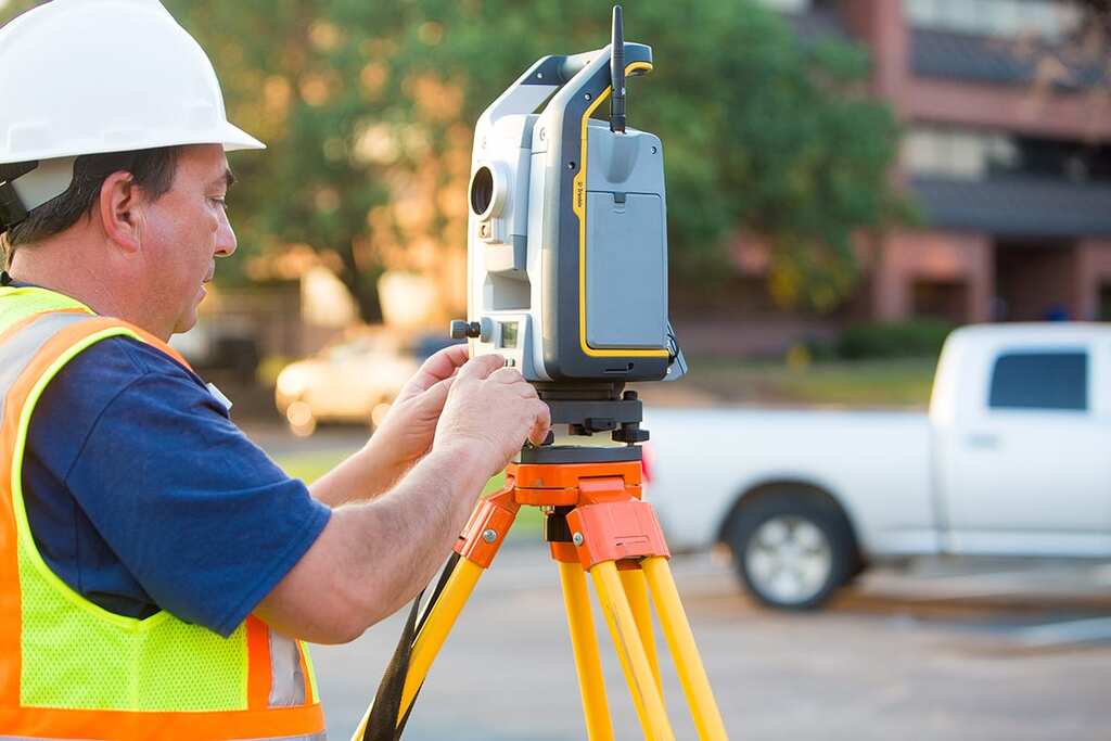
The process of surveying is essential to the completion of any project involving civil engineering. Land surveyors are necessary for civil engineering projects for several reasons. Still, one of the most important ones is that they supply precise data that engineers may utilize in their proposals.
The ability of land surveyors to perform inspections in high-risk regions and assist in resolving legal issues is another reason for their significance. Discover more about the value of land surveyors and some of the most important ways they contribute to the success of civil engineering projects by reading the following: With that said, let’s examine the benefits surveying offers civil engineers.
Deliver Reliable Information for a Proposal
When organizations that specialize in civil engineering develop bids, they require precise data. When a civil engineering group submits its plan, it is frequently necessary for the organization to win public support for the project, either through the vote of parliamentarians or through the public’s vote directly.
A project can fail if perceived as risky, which may cause the public or lawmakers to vote against it. Engineers need accurate data to build a plan that demonstrates how the infrastructure will be as secure as is humanly possible.
Possess a Deeper Comprehension of Topography
Before beginning work at a location, a civil engineer must first become familiar with its topography. The results of a land survey can be helpful to engineers in several different ways, such as the ability to evaluate whether or not a location is at risk of flooding due to poor soil or structural problems. Before beginning construction on a location, civil engineers can decide whether or not their project is both practical and secure by gaining a more profound knowledge of the site’s topography.
Conduct Thorough Inspections of High-Risk Areas and Projects
In high-stakes projects like bridge construction, civil engineers rely on the assistance of land surveyors. Surveyors are equipped with the necessary tools to conduct risk-free analysis of construction sites, even in the presence of personnel. The use of a drone by a land surveyor to investigate dangerous but inaccessible areas is becoming increasingly common. As a result of their ability to maneuver around complex terrain and objects, drones are not only more secure but also provide more comprehensive results.
Dams, canals, and bridges are examples of high-risk projects that are created or repaired by civil engineers who require accurate data to ensure the public’s safety. Failures of structures like dams and bridges can result in injury and even death. Surveying can be done both before and after a project by a land surveyor to guarantee that civil engineers have accurate data.
Assist in the Resolution of Legal Property Conflicts

Projects involving civil engineering may run into issues of property. Civil engineers may judge the proposed development to cross public land, although some private landowners may believe it will touch their property. Land surveyors Sydney might settle disputes over the boundaries of properties. A land surveyor would typically carry out a boundary survey to establish ownership of the property a civil engineering company will be building.
Land surveyors are utilizing drones to speed up the mapping of property borders. They can locate private land and public land with the use of other surveying equipment and a bird’s-eye view of the property limits. The accuracy of land surveys can be improved by using LiDAR scanning and uncrewed aerial vehicles (UAVs).
A land surveyor can speedily resolve legal difficulties and put an end to delays by making use of modern technology. Because they demonstrate that public land is being utilized, these surveys can potentially increase public support for the project.
Enhanced Pre-construction Planning

Conclusion
A land survey provides essential information for a civil engineer to review before giving the go-ahead for the building. The information gleaned from this land survey can be used by civil engineers to make sure that future buildings are appropriately cited and that all prerequisites have been met. Civil engineers can use this information to give their building crew more detailed designs, allowing them to better prepare for building.
Discover More